Sign in. It’s quick, free and it’s up to you.
An account is an optional way to support the work we do. Find out more.
Sign in. It’s quick, free and it’s up to you.
An account is an optional way to support the work we do. Find out more.
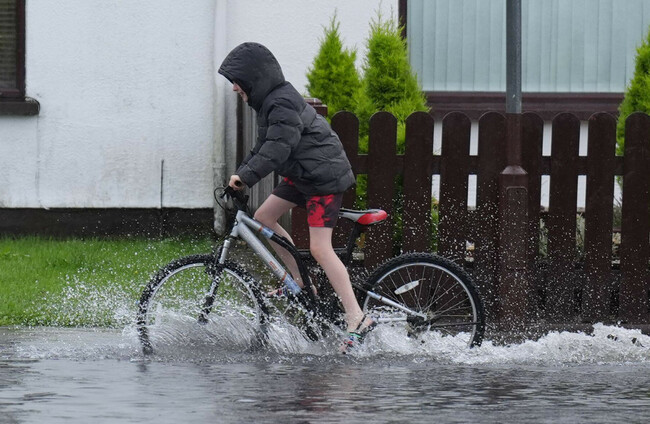
A STATUS YELLOW rain warning is in effect for three counties tonight, with spells of heavy rain expected overnight and further unsettled conditions forecast into tomorrow.
The warning, which came into effect in Galway, Roscommon and Longford shortly after 9pm this evening, will remain in place until 8am tomorrow morning.
Met Éireann has cautioned of localised flooding, poor visibility, and difficult travelling conditions in affected areas.
Rain will be heaviest and most persistent across the western half of the country, with the chance of spot flooding in parts of Connacht and Munster.
A wet start in the E and SE as rain clears through tomorrow morning🌧️
— Met Éireann (@MetEireann) October 22, 2025
Blustery with scattered showers most frequent in the NW and W, becoming heavier in the afternoon with some hail possible, some sunny spells too
Highs of 8 to 11 C with moderate to fresh winds, strong in W/NW🍃 pic.twitter.com/xBBPHeCbqp
Conditions are expected to improve somewhat later in the night as rain clears southeastwards, followed by isolated showers and a turn to fresh northwesterly winds.
Tomorrow will bring a wet and blustery start, Met Éireann says, particularly in the east and southeast, before rain clears into the Irish Sea.
The rest of the day will see scattered showers, some turning heavy with hail possible in the west and northwest, but there will also be sunny spells at times.
Temperatures will range from 8 to 11 degrees, with moderate to strong westerly winds, especially along western and northwestern coasts, where gale-force gusts are expected.
Met Éireann has also issued marine warnings for all coasts, as westerly winds are to reach gale force at times through Friday.

To embed this post, copy the code below on your site

















have your say