Sign in. It’s quick, free and it’s up to you.
An account is an optional way to support the work we do. Find out more.
Sign in. It’s quick, free and it’s up to you.
An account is an optional way to support the work we do. Find out more.
Updated at 12.29pm
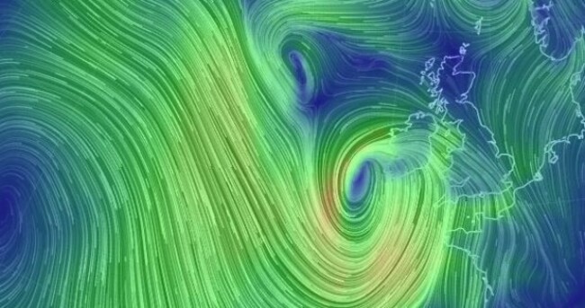
ANOTHER ATLANTIC STORM is making its way across the country this afternoon, and two ‘status orange’ alerts have been issued by Met Éireann.
The most recent alert — a wind warning — affects all of Munster and Leinster.
According to the weather service, people in the area can expect it to be “wet and very windy with strong to gale force easterly winds”.
It’s forecast the winds will gust up to 120 km and that heavy rain will lead to localised flooding.
“The rain will turn to heavy, thundery showers later,” according to the latest update.
Earlier, a flood warning was issued for the entire country:
“Further disruption is possible today as another Atlantic storm tracks over Ireland producing heavy precipitation and gales in places.”
At the moment, the wind warning is due to remain in place until 3pm, while the flood warning lasts until 9pm. However, the storm’s not expected to be as bad as the one that hit on Wednesday (that was a ‘status red’).
There is some relief coming from the constant conveyor-belt of wind and rain, however — the outlook for next Wednesday indicates a milder weather system’s on the way:
Becoming milder as a warm front moves in from the Atlantic bringing patchy drizzle and temperatures of 9 to 11 degrees.

To embed this post, copy the code below on your site












have your say