Sign in. It’s quick, free and it’s up to you.
An account is an optional way to support the work we do. Find out more.
Sign in. It’s quick, free and it’s up to you.
An account is an optional way to support the work we do. Find out more.
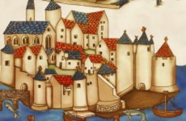
WHAT IS THE location featured in the earliest depiction of an Irish city?
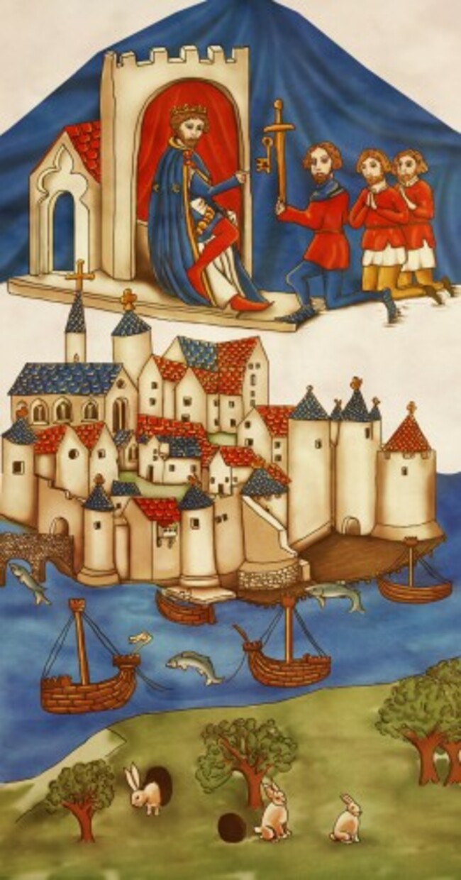
It’s Waterford, and the depiction can be seen in the new book Cois tSiúire: 9000 years of Human Settlement in the Lower Suir Valley, published by the National Roads Authority.
The book tells the story of the archaeological landscape around Waterford and as part of the work for it, Rubicon Heritage Services excavated a number of sites in Ireland.
It also standardised all the archaeological graphics for the book including the Waterford Charter, which dates to 1372 and is housed in the Waterford Museum of Treasures.
It was originally drawn up in a bid to confirm charter status from King Edward III (who is pictured at the top of the roll receiving the key of the city) and is a unique document.
Rubicon reproduced the Waterford Charter after comparing it with a 19th century Du Noyer’s sketch.
After the final layout was agreed on and all features of the map had been sketched in, the image was worked up digitally in a style aimed to mimic, rather than replicate, the Charter scene.
Cois tSiúire: 9000 years of Human Settlement in the Lower Suir Valley is available now from major bookshops and throughout the Waterford region.

To embed this post, copy the code below on your site















have your say