Sign in. It’s quick, free and it’s up to you.
An account is an optional way to support the work we do. Find out more.
Sign in. It’s quick, free and it’s up to you.
An account is an optional way to support the work we do. Find out more.
Updated 6.20pm
MET ÉIREANN HAS issued three separate weather warnings today, as Storm Frank approaches Ireland.
The weather warnings come after the government’s emergency task force met this morning. Deputy head of forecasting at Met Éireann Evelyn Cusack said:
It is a very vigorous Atlantic storm and it will throw up some very heavy rain and winds up to storm force.
“Exceptionally high waves will be falling onto the Atlantic coast and onto the south coast of Ireland as well. From a period of midday Tuesday to 6pm Wednesday there will be very high waves.”
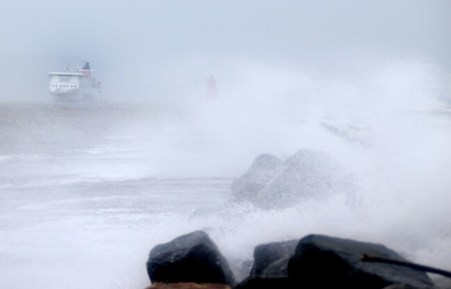
Speaking to RTÉ this evening, Met Éireann’s Gerard Fleming said that “the country is completely saturated – in every meaning of that word – with water, and any further water will make it worse”.
Bernardine Moloney from ESB Networks said to RTÉ that the levels in Lough Rea are getting higher than they were with Storm Desmond, while Lough Derg is also high and expected to get higher.
She added that other rivers “may become problematic”.
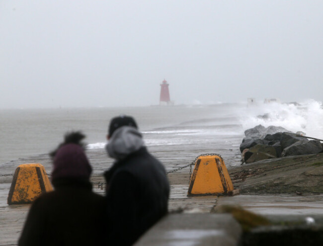
Director of the Coast Guard, Chris Reynolds, said that the storm has the potential to lead to a loss of life:
We have had a number of deaths this year when members of the public who would not have been used to being on exposed rocks or piers are suddenly overwhelmed by a wave and pulled into the sea. There are no rogue waves, only unpredictable ones.
“So please exercise extreme caution over the next 36 hours, particularly if you are with young children. The seas will be at their most treacherous in the afternoon on the east coast, and early evening on the south and west. Our message is Stay BACK, Stay HIGH and Stay DRY.”
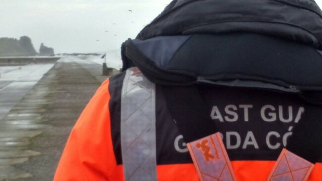
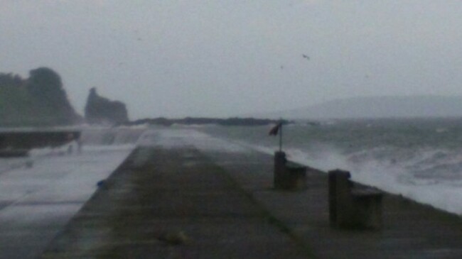
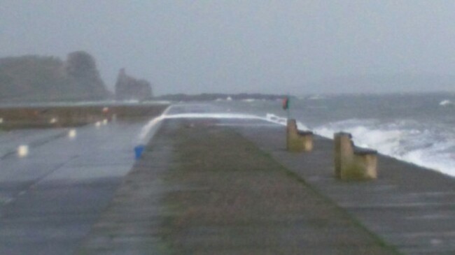
Howth Coast Guard shared photographs of the east pier at Howth today. They told TheJournal.ie that a member of the public had seen a person pushing a buggy down the pier, and became concerned due to the waves.
They called the coast guard, who responded within minutes.
Luckily the situation was not an emergency and the person with the buggy had left the scene.
The spokesperson said that they are encouraging “weather tourists”, who come to look at the high waves, to stay away from piers like Howth, which can become very dangerous during bad weather.
In Saints Island, Longford, the locals brought the remains of a local man by water to be buried, RTÉ reported:
Wind and Rain Warnings
An orange wind warning is in place for Donegal, Galway, Leitrim, Mayo, Sligo, Clare and Kerry.
It will come into effect from tomorrow afternoon until tomorrow night, with winds of up to 80 kilometres per hour and gusts of up to 120 kilometres per hour forecast.
A status yellow wind warning is also being put in place for Leinster, Cavan, Monaghan, Roscommon, Cork, Limerick, Tipperary and Waterford.
Wind speeds will reach 65 kilometres per hour while gusts will go up to 109 kilometres per hour. The yellow warning will also come into effect tomorrow afternoon but it will remain in place until Wednesday morning at 6am.
Earlier today it was reported that Kennedy Quay in Cork had to be closed due to hazardous wind-blown debris.
Meanwhile, a status yellow rainfall warning is currently in place for Galway, Mayo, Clare, Cork, Kerry and Limerick.
Flood watch
Areas along the River Shannon are currently on flood watch as the river is expected to rise by a further 10cm by this Wednesday.
Clare County Council says water levels along the Lower River Shannon have already risen considerably in recent days.
The council issued a flood and storm warning for the entire county in advance of severe weather conditions that are expected during the next 48-72 hours.
ESB has confirmed that the spill rate at Parteen Weir will remain at 405 cubic metres per second (cumecs) today but that discharge levels are likely to be increased in the coming days.
Limerick City and County Council says there is a heightened risk of flooding as water levels along the Lower River Shannon at Castleconnell, Montpelier, Mountshannon Road (Lisnagry) and in the Limerick City area have risen considerably in recent days and further increases are expected this week.
Council employees are continuing pumping operations at Castleconnell and Montpelier. The local authority says it “remains on alert to ensure that the necessary responses can be immediately activated in the event of flooding during the coming days”.
Storm Desmond
Comparing Storm Frank to Storm Desmond, Jim Casey from the Office of Public Work said:
“Everywhere at the moment on the network levels are below what they reached immediately following Storm Desmond except for Athlone, the levels in Athlone are 2 cm higher … obviously with the forecast rainfall over the coming days there’s the potential for those levels to get back up to the peaks that were reached following Storm Desmond and perhaps even exceeding those levels.”
Motorists also are being advised to avoid unnecessary travel on Tuesday night and during Wednesday as all roads are at risk of being flooded.
The National Coordination Group met again today to discuss the ongoing severe weather.
It advised the public to be vigilant when travelling on roads as there may be local flooding. The group noted that in the coming days high winds may also bring down trees so travelling at reduced speeds in the affected areas is also advised.
Driving in floods
The Road Safety Authority (RSA), is asking road users to exercise caution while using the roads. It is asking road users to check local weather and traffic conditions before making a trip and to consider postponing it if the conditions are extremely bad.
It offered the following advice:
It also said that if the road is flooded, do not attempt to drive through it, as flooded roads can appear shallower than they are.
It said people should watch this PSA from the US National Weather Service about the dangers of driving in flooded roads.
- with reporting from Órla Ryan and Aoife Barry

To embed this post, copy the code below on your site













have your say