Sign in. It’s quick, free and it’s up to you.
An account is an optional way to support the work we do. Find out more.
Sign in. It’s quick, free and it’s up to you.
An account is an optional way to support the work we do. Find out more.
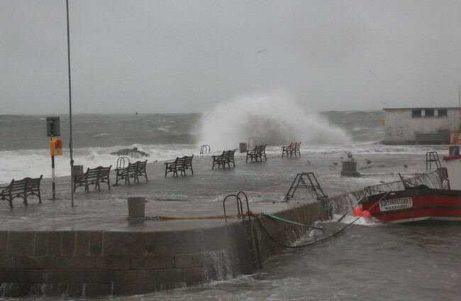
THERE IS A RISK of coastal flooding over the next few days due to “unusually” high tides, Met Éireann has said.
The forecaster said there will be some bright spells in the northwest at first today, but it will be another mostly cloudy day overall with outbreaks of rain and drizzle.
Coastal flooding is possible today and tonight due to unusually high tides.
Yesterday, Dart services experienced significant delays for a number of hours after waves overtopped onto some platforms.
Tonight is also due to be mostly cloudy with scattered outbreaks of rain and drizzle. There will be patches of mist and hill fog, too.
Tomorrow morning will be mostly cloudy to begin, with patchy mist and further outbreaks of rain and drizzle. This will clear eastwards through the afternoon and evening with bright spells and showers to follow.
Met Éireann has said coastal flooding is, again, likely tomorrow due to the unusually high tides.
Looking ahead, the forecaster said it will be “generally unsettled” through the coming week with rain at times, but it’s expected to become milder around midweek.
The unusually high tides will continue out through Tuesday with the possibility of coastal flooding for all coasts.
Tuesday will begin dry in most areas, but cloud is due to thicken with outbreaks and rain, drizzle and patchy mist spreading from the southwest through the morning and afternoon.
Outbreaks of rain and drizzle will become confined to the west and north on Tuesday night.

To embed this post, copy the code below on your site














have your say