Sign in. It’s quick, free and it’s up to you.
An account is an optional way to support the work we do. Find out more.
Sign in. It’s quick, free and it’s up to you.
An account is an optional way to support the work we do. Find out more.
LAST MONTH WAS Ireland’s driest July on record – and looking around, you’d know it.
The country got less than one-fifth of its average July rain levels last month.
Out of the 25 weather stations that Met Éireann has set up around Ireland, 20 recorded ‘absolute droughts’ in July- a period of 15 or more days in a row with no more than 0.2mm of rain on any single day.
What kind of impact does that hot, dry weather have on the landscape?
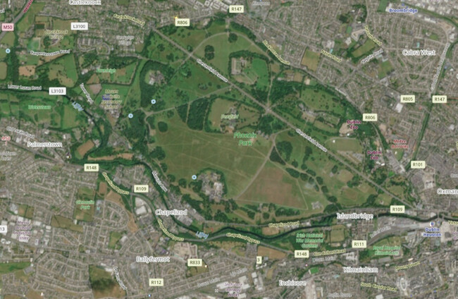
We’ve pulled out a selection of satellite images that show how certain areas looked before and after the height of the heatwave.
It’s important to note that some fields have turned a yellow colour not because of the drought, but because they’re planted with crops like rapeseed that turn a bright yellow around this time of year before they’re harvested.
But in many gardens, parks and even golf courses, the change to the land caused by the lack of rain is visible – and, in places like Slievenamon or the Comeragh Mountains, the impacts of wildfires.
The effects on the landscape are more visible in some parts of the country than others, which makes sense since some areas were hit harder by drought than others. Mayo was the wettest place in the country in July with 75.2mm of rain recorded at the Newport weather station. In contrast, the Cork Airport weather station only got 1.1mm of rain.
We sourced these images from the European agency Copernicus. You can give it a go yourself to see what your local area looks like from above.
***

To embed this post, copy the code below on your site














have your say