Sign in. It’s quick, free and it’s up to you.
An account is an optional way to support the work we do. Find out more.
Sign in. It’s quick, free and it’s up to you.
An account is an optional way to support the work we do. Find out more.
LAST UPDATE | 24 Feb 2022
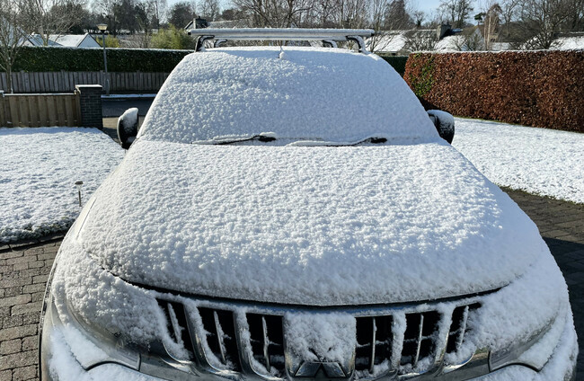
MOTORISTS ACROSS THE country are being warned to continue taking precautions today after snow showers overnight and into this morning.
A Status Yellow snow-ice warning was in place across Ireland until midday.
Many parts of the country experienced blustery showers of hail, sleet, snow and ice.
Met Éireann has warned that “hazardous driving conditions” can be expected on affected roads.
Separately, a Status Yellow wind warning for Galway and Mayo remains in place until 6pm today, with gusts of up to 110 km/hr forecast.
Another Yellow warning is in place for Donegal, Leitrim and Sligo from 1pm until 8pm, with Donegal’s warning becoming a Status Orange warning from 4pm until 7pm, when the county will face winds with severe gusts of up to 130 km/hr.
The Road Safety Authority (RSA) is asking road users to exercise caution while using the roads in Donegal while the Orange warning is in place.
The authority says that control of a vehicle may be affected by strong winds, especially for high-sided vehicles and motorcyclists on exposed routes such as dual carriageways and motorways.
Motorists have also been told to beware of objects being blown onto the road, including trees and fallen debris, and that road conditions may change quickly in high winds.
Snow is reported to be lying on many roads across the country.
Disruption has been reported in Kerry, with the Conor Pass closing following heavy snowfall and ploughs being deployed on the N21 and N22.
Mayo County Council reports that the Windy Gap road is treacherous in places.
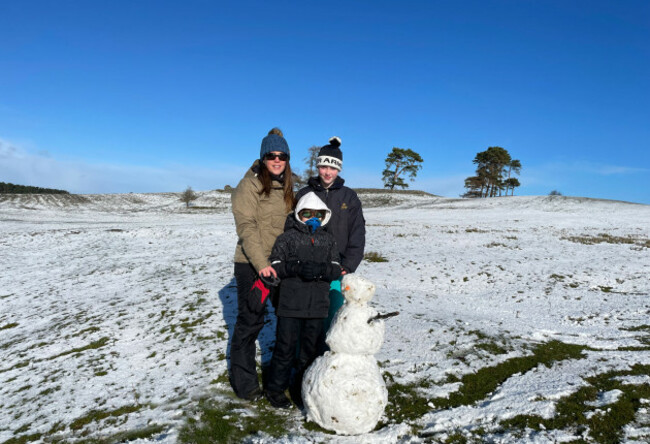
The UK Met Office has also issued a Status Yellow snow warning for Antrim, Fermanagh, Tyrone and Derry, effective until 8pm.
Met Éireann says affected counties will face “very strong and gusty west to northwest winds”.
It will be a windy day, but snow showers will become mainly confined to higher ground throughout the afternoon and evening.
Highest temperatures will be just 4 to 7 degrees with minimum temperatures of -1 to +3 degrees tonight.
Additional reporting by Nicky Ryan and Órla Ryan

To embed this post, copy the code below on your site













have your say