Sign in. It’s quick, free and it’s up to you.
An account is an optional way to support the work we do. Find out more.
Sign in. It’s quick, free and it’s up to you.
An account is an optional way to support the work we do. Find out more.
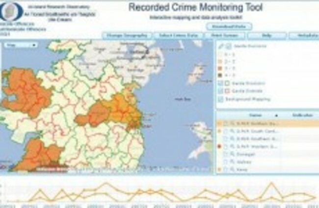
IRELAND’S FIRST crime mapping interface has been launched, with the aim of giving users the ability to view recorded crime incidents and offences in an interactive manner.
The AIRO Crime Mapping Toolkit uses data sourced through the CSO and An Garda Síochána and originally comes from the PULSE system.
The Toolkit will offer users a very detailed set of crime categories at the Garda Division level and also provide a synopsis of information at the Garda Station spatial scale, according to the website.
At the Garda Division Level there are 57 crime categories classified under 14 themes such as Homicide, Sexual Offences, Kidnapping, Controlled Drug Offences, Robbery, Burglary or Public Order Offences. The second set of data on the tool is available at a much more detailed spatial scale with information available for 704 Garda stations across the country.
AIRO says this is the first attempt at making Irish crime data available in a mapped format, and that “hopefully it will lead to further enhancements and more detailed data becoming available further down the line.”
The CSO have released a publication on Interpreting Crime Statistics to aid those attempting to make sense of the data.
To gain access to the Crime Mapping Toolkit users must initially be registered on the AIRO website: http://www.airo.ie

To embed this post, copy the code below on your site













have your say