Sign in. It’s quick, free and it’s up to you.
An account is an optional way to support the work we do. Find out more.
Sign in. It’s quick, free and it’s up to you.
An account is an optional way to support the work we do. Find out more.
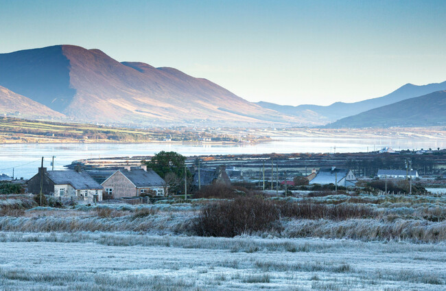
COLD CONDITIONS ARE on the way with weather warnings issued for western and northern counties.
A Status Yellow snow-ice warning has been issued for Cavan, Monaghan and all of Connacht. This will kick in at 2am on Thursday and remain in place until 6pm.
Another Status Yellow snow-ice warning will be in place for Donegal on Thursday between 11am and 8pm.
Met Éireann has warned that a band of rain will turn increasingly to sleet and snow, leading to ice on untreated surfaces, hazardous driving conditions, travel disruption and poor visibility.
The UK’s Met Office has also issued a Yellow snow warning for the six counties in the North. This will be in place for 24 hours from 6am on Thursday.
Looking at the general forecast, conditions are due to turn colder as today continues, with highest afternoon temperatures of 5 to 8 degrees.
Most areas will be dry tonight but some wintry showers are possible near northern coasts, Met Éireann has said.
It will be cold, with frost and ice developing as temperatures drop as low as -2 degrees.
Tomorrow morning is forecast to be cold with frost and icy stretches.
It’s due to be mostly due apart from the chance of an isolated shower in the north. Otherwise, there will be hazy sunny spells at first, but cloud will spread from the south throughout the day and patchy rain will develop in the south and south west.
Tomorrow night is expected to see rain or sleet extend across Munsteer, Connacht and Leinster and Met Éireann has said snow is possible on higher ground.
Temperatures are due to drop as low as -3 degrees tomorrow night.
Looking ahead to Thursday, during which the weather warnings will be in place, Met Éireann has said rain and sleet will move further north thoughout the day, clearing to scattered showers in the south later.
Snow is possible in northern areas, especially on higher grounds.
The rain and sleet is forecast to continue over the northern half of the country on Thursday night, with scattered showers further south.
Further falls of snow are possible on higher ground in the north.
Temperatures are due to drop as low as 0 degrees.
Friday is expected to stay unsettled with showers or spells of rain or sleet, while will continue into the night.

To embed this post, copy the code below on your site













have your say