Sign in. It’s quick, free and it’s up to you.
An account is an optional way to support the work we do. Find out more.
Sign in. It’s quick, free and it’s up to you.
An account is an optional way to support the work we do. Find out more.
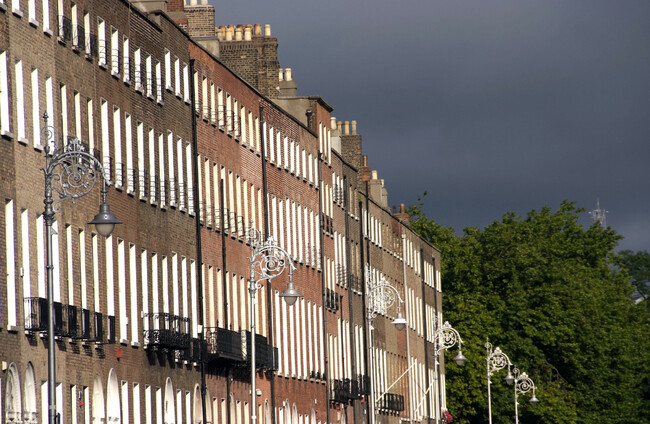
A STATUS YELLOW thunderstorm warning has been issued for 11 counties.
The Met Éireann alert is in place across Cavan, Dublin, Galway, Leitrim, Longford, Louth, Meath, Monaghan, Offaly, Roscommon, and Westmeath.
The warning is in place until 10pm tonight and residents of these counties are to expect localised thunderstorms, as well as lightning activity with heavy downpours.
Meanwhile, residual showers are expected to continue overnight but will become isolated with some mist and fog patches developing, with lowest overnight temperatures of 8 to 11 degrees.
Tomorrow will be a mix of cloud and sunny spells, with widespread slow moving showers, heaviest in the afternoon and evening and with possible thundery downpours.
Highest daytime temperatures tomorrow will generally range 15 to 18 degrees, in light to moderate southerly winds.
It will then become much drier on Saturday night, with lowest temperatures of 6 to 9 degrees.
Sunny spells and scattered light showers will follow during Sunday morning and early afternoon, followed later by cloudier skies as rain and drizzle gradually extends countrywide.
There’ll be highest temperatures on Sunday of 14 to 19 degrees, warmest in the east, and in moderate south to southwest winds.
However, heavy rain will follow overnight and Monday will see a day of sunny spells with scattered passing showers, some of which will be heavy.

To embed this post, copy the code below on your site










have your say