Sign in. It’s quick, free and it’s up to you.
An account is an optional way to support the work we do. Find out more.
Sign in. It’s quick, free and it’s up to you.
An account is an optional way to support the work we do. Find out more.
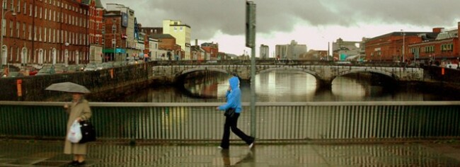
THE WEATHER IS about to go a bit mad over the next 24 hours, with Met Éireann issuing a warning for heavy rainfall, thunderstorms and spot flooding – particularly in Munster and the West coast.
A yellow warning is in place for 6 pm tonight until 6 pm tomorrow, with up to 40 or 50 mm of rain expected for Cork, Kerry, Waterford and Wexford.
Cork City Council this evening issued a tidal flood alert for tomorrow morning and evening, with a risk of flooding in low lying areas of the city, in particular Morrisons Quay, Sharman Crawford St and Wandesford Quay.
Elsewhere, there will be “heavy prolonged showers and severe thunderstorms” tonight in the West and Southwest, which will spread overnight, Met Éireann has predicted.
We’re also likely to see some strong wind, with conditions getting “very blustery” along coastal areas tonight.
Temperatures will drop to between three and eight degrees tonight, and it’ll be coldest (but also clearest) in Ulster and the north-west.
The rain in particular will spread tomorrow, with a forecast for heavy showers, localised flooding and thunder.
We may get the odd dry, bright spell, and temperatures will get up to between 12 and 15 degrees.
Those in the south can expect the worst of the wind tomorrow.

To embed this post, copy the code below on your site















have your say