Sign in. It’s quick, free and it’s up to you.
An account is an optional way to support the work we do. Find out more.
Sign in. It’s quick, free and it’s up to you.
An account is an optional way to support the work we do. Find out more.
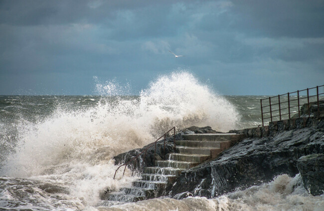
MET ÉIREANN HAS issued a weather advisory for Storm Eunice, saying that it has the potential to be a “multi-hazard and disruptive event” this Thursday.
Storm Dudley is due to hit the country tomorrow, followed by Storm Eunice on Friday.
Status Yellow wind warnings are set to come into effect across the entire country from 12pm tomorrow.
The advisory, issued this afternoon, says that damaging winds, heavy rain and snow is possible as Storm Eunice arrives on Thursday night.
According to the forecaster, the strongest winds will impact southern counties and significant snowfall is most likely over central and northern parts of Ireland.
Met Eireann has said that warnings for Storm Eunice will be issued tomorrow morning and further updated on Thursday.
A virtual meeting of the National Directorate for Fire and Emergency Management (NDFEM) Crisis Management Team took place today between Met Éireann, the OPW, local authorities and other agencies.
The NDFEM Crisis Management Team have said that they will continue to liaise with Met Éireann to monitor the evolving weather situation, with further meetings scheduled in the coming days.
The Road Safety Authority has asked road users to be cautious over the next few days.
In a statement, it advised people to check local traffic information and the weather conditions before beginning a journey.
On Monday, a Department of Education spokesperson said that there was no indication of any school closures needed in response to Storm Dudley “at [that] stage”.
- Additional reporting by Tadgh McNally

To embed this post, copy the code below on your site














have your say