Sign in. It’s quick, free and it’s up to you.
An account is an optional way to support the work we do. Find out more.
Sign in. It’s quick, free and it’s up to you.
An account is an optional way to support the work we do. Find out more.
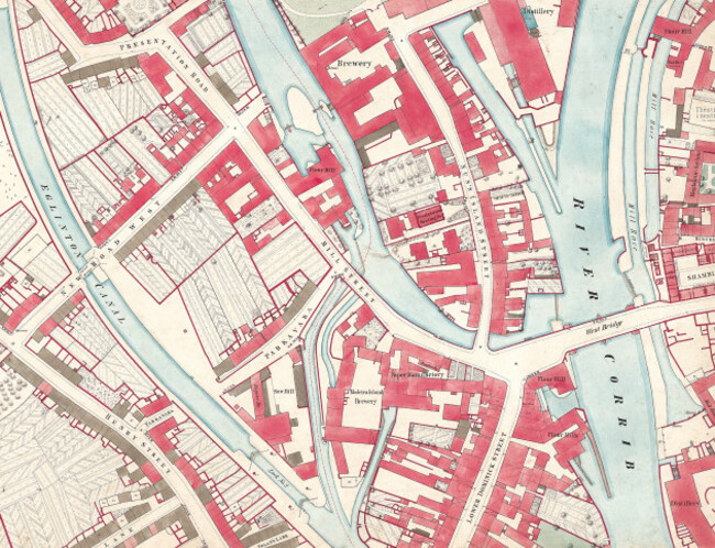
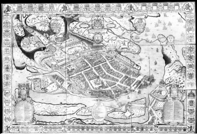
IT MAY LOOK like Galway as you’ve never seen it before, but a collection of ancient maps of the city shows just how much of it has remained intact.
The maps have been published in a new book and accompanying exhibition that includes illustrations of Galway dating back nearly six centuries.
The atlas has details of over 2,500 sites that explore how the city developed from Gaelic fortifications in the early 12th century to becoming an Anglo-Norman seaport a century later.
Archaeologist Paul Walsh of the National Monuments Service is one of the authors of the atlas.
He explains that the modern city of Galway developed as a trading port at the mouth of Lough Corrib, with commodities like hide and tallow being exported and iron, salt and spices coming in.
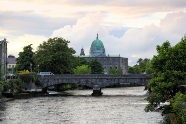
“Galway is synonymous with water,” he says, adding that trade to and from the city would have reached as far as Spain.
The trading route of Lough Corrib itself saw produce coming down to the port and also then produce coming in at the port from seafaring expeditions. It was a perfect situation for trading purposes. And the entrepreneurs of the time capitalised on that because it was the only big western seaboard town that had a safe anchorage where ships could come in.
This new publication is the 28th Irish town to be illustrated as part of the Irish Historic Towns Atlas, an initiative that was founded in 1981 as part of the Royal Irish Academy.
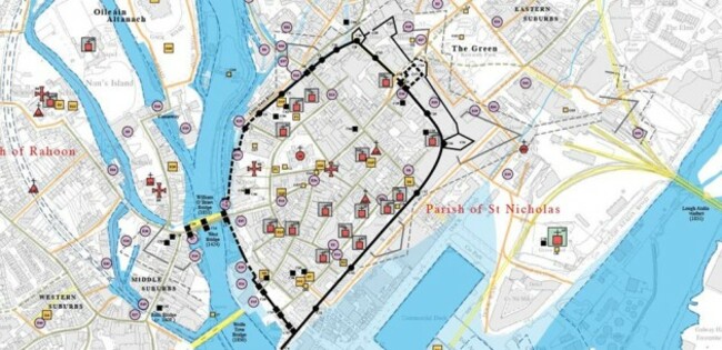
Other towns previously featured including Kells, Bandon and Belfast.
The reproduced maps are collated following years of research in libraries and repositories in both Ireland and Britain. The majority of the maps used in the Galway collection were sourced from Britain.
Among the sites that are covered are sixteenth century mills, bakeries, inns and tower houses as well as the seventeenth-century market places, forts and schools, gallows and bowling greens.
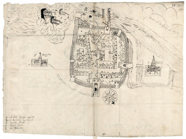
The oldest map in the Galway/Gaillimh atlas dates back to July 1583 and was sketched by a Connacht provost named Barnaby Googe. Another sketch map has been dated at just one month later.
Walsh says that people familiar with Galway city will be struck by just how similar the layout of the city today is to that which was sketched almost 600 years ago.
It’s an absolutely wonderful sketch map that shows Galway very much as it is today. The street pattern hasn’t changed in the heart of Galway and what’s shown on his map still survives and it’s quite a remarkable thing to see.
“If you look up at the streetscape you’ll see bits and pieces like hood moulding and various other pieces that go back to the emerging city as we call it from the 15th century.”
One of the most impressive surviving features is remnants of the fourteenth-century De Burgo Hall located at Flood Street. The foundations of the building as part of the modern-day Custom House and are still visible.
An exhibition of the newly reproduced maps and illustrations was opened yesterday at Galway City Museum by President and native Tribesman Michael D Higgins.
The exhibition will run for a number of months and is free to attend.
The Galway/Gaillimh atlas is priced at €35 and can be purchased at Ria.ie.

To embed this post, copy the code below on your site












have your say