Sign in. It’s quick, free and it’s up to you.
An account is an optional way to support the work we do. Find out more.
Sign in. It’s quick, free and it’s up to you.
An account is an optional way to support the work we do. Find out more.
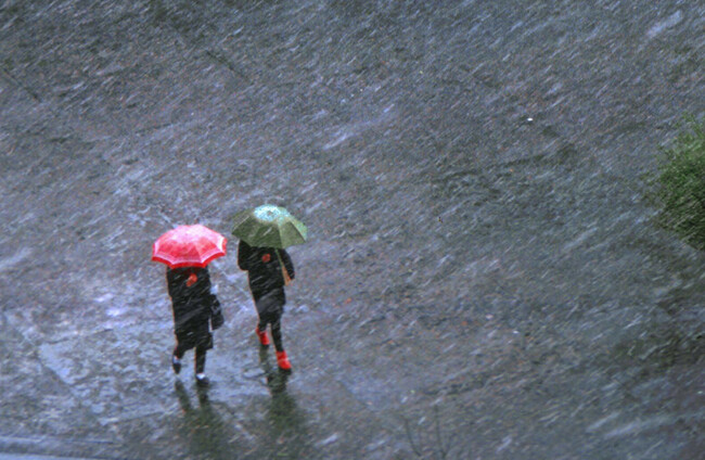
IT’S SET TO be a washout this weekend, with a Met Éireann weather advisory set to kick in overnight.
The forecaster issued the national advisory this morning, warning that “heavy showers or longer spells of rain” will become widespread from the southwest tonight and during Sunday.
Some localised torrential downpours will also occur, bringing the potential for thunderstorms, lightning and associated gusty winds.
“While they will be hit-and-miss, some localised flooding may occur,” Met Éireann said.
The advisory will be valid from 3am on Sunday and remain in place until 3am on Monday.
A Weather Advisory has been issued for widespread rain 🌧️
— Met Éireann (@MetEireann) August 29, 2026
⏲️ The Advisory is valid from 3 am on Sunday 30/8/26 to 3 am on Monday 31/8/26.
Some localised flooding may occur 🌊
Full details can be found here ⬇️ https://t.co/hFRUri32jQ pic.twitter.com/SfjGHJRPrP
It comes after heavy rain caused flooding in Kerry and Dublin on Thursday night, while the Phoenix Park recorded 40mm of rainfall between 9 and 10pm – more rain than in the last two months.
The latest forecast will not be welcomed by the thousands of fans attending Electric Picnic in Co Laois, where it is also expected to rain throughout today.
It will be a wet start for most today, with widespread rain that will be “very heavy and persistent at times” with the chance of localised flooding.
While the rain will clear eastwards through the day, it may linger in parts of Leinster and Ulster towards the evening. There will be some sunny spells, mainly across Munster and Connacht, with highest temperatures of 15C to 20C.
Tonight will start off dry, but scattered showers or more persistent spells of rain will spread from the southwest later on. Lowest temperatures of 10C to 15C.
Sunday will see widespread showers or more persistent spells of rain that will be very heavy at times with thunderstorms and localised flooding possible. Temperatures will reach highs of 16C to 21C, with some sunny spells possibly developing through the day.
It will become breezy on Sunday night with a mix of clear spells and scattered showers. The temperature will drop to 10C to 14C.
A mix of sunny spells and scattered showers is in store for Monday, with cloud set to thicken from the west through the afternoon and evening, followed by outbreaks of rain and drizzle. Highs of 15C to 18C, coolest in the northwest.

To embed this post, copy the code below on your site
















have your say