Sign in. It’s quick, free and it’s up to you.
An account is an optional way to support the work we do. Find out more.
Sign in. It’s quick, free and it’s up to you.
An account is an optional way to support the work we do. Find out more.
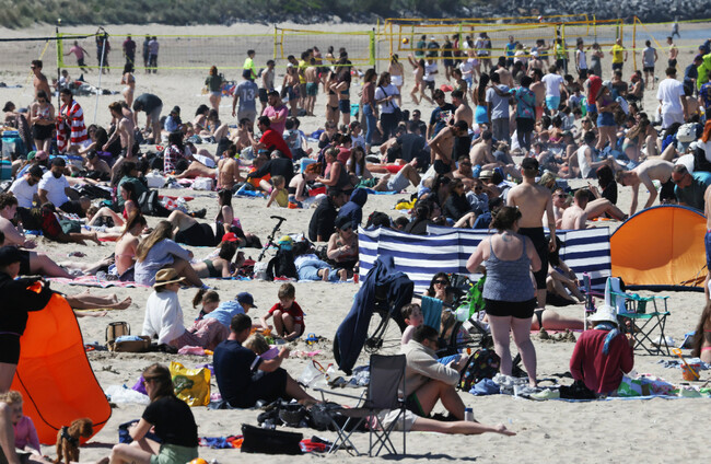
THE RECENT SPELL of warm and sunny weather is set to sadly come to an end this week, with Met Éireann forecasting cloudier conditions from as soon as Saturday.
The country is set to see more of the pleasant conditions enjoyed in recent weeks in the coming days, albeit with a greater chance of showers, isolated thunderstorms and heavy rain in places.
It will be a sunny start to the week today, apart from Ulster and coastal parts of Leinster, where it will remain cloudy until the afternoon.
Showers will develop more widely this afternoon and evening, some turning heavy with a chance of spot flooding and thunderstorms.
Highest temperatures will range from 15 to 22 degrees before dropping to lows of 3 to 8 degrees during a largely dry, clear night.
Tuesday is looking similar, with plenty of sunshine to begin with before showers become more widespread, building from the southwest in the afternoon and pushing into most of Munster and beyond by tomorrow evening.
A dry and sunny day is expected on Wednesday, with the chance of showers on the way for some southern counties.
Temperatures of 18 to 22 degrees are expected during the day, but it will be cooler in Ulster, with highs of 16 degrees expected.
Thursday will be another largely dry day, according to Met Éireann, with patchy cloud and sunny spells and just the odd light shower possible. Tempoeratures will range between 14 and 21 degrees.
Met Éireann has warned of a “more permanent regime change” by the weekend, when temperatures will return to near-average and more widespread rainy conditions are expected.

To embed this post, copy the code below on your site














have your say