Sign in. It’s quick, free and it’s up to you.
An account is an optional way to support the work we do. Find out more.
Sign in. It’s quick, free and it’s up to you.
An account is an optional way to support the work we do. Find out more.
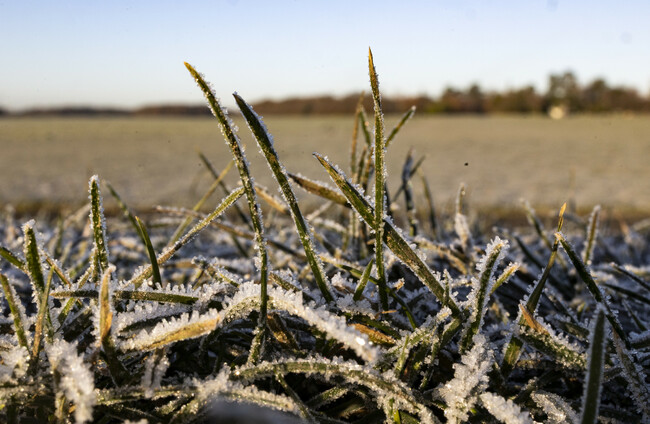
IT’S SET TO get a bit colder this week, with patches of frost and ice expected in much of the country.
Met Éireann said temperatures will drop in the coming days as an Arctic airmass moves down over the country tomorrow night, bringing with it dry and bright weather, with some showers.
Today is set to remain mainly dry with plenty of sunshine and isolated showers in places, while cloud will build in parts of the northwest and west this evening.
It will become increasingly cloudy later this evening, with outbreaks of light rain and drizzle spreading from the northwest. Temperatures will hit lows of -1 and 3 degrees with some frost and icy patches developing for a time.
Cool & dry for most #today with plenty of sunshine & just the odd isolated light shower☀️🌂
— Met Éireann (@MetEireann) November 17, 2025
Cloud will build into parts of the NW & W later, but holding mostly dry for daylight hours🌥️☁️
Highest temps of 6 to 10 C🌡️ in a light variable breeze🍃 pic.twitter.com/dc16wSQTFq
Tomorrow will see sunshine and scattered showers, some of which will be heavy, mainly further north, where there’s a chance of hail.
The wind will pick up from the afternoon, becoming fresh and gusty before getting stronger in the evening, especially further north and in western coastal parts. Highs of 6 to 10 degrees, but feeling colder, with an added wind chill factor.
Tuesday night will be a cold one with scattered showers becoming more confined to parts of the north and northwest, which will turn increasingly wintry and fall as sleet, with some snow too, especially over higher ground.
It’ll be mostly dry elsewhere with long clear spells and moderate to fresh and gusty northerly winds and lows of -1 to 3 degrees with some frost and ice, especially in sheltered parts.
The cold will continue on Wednesday with sunshine and scattered showers mostly confined to Ulster, Connacht and parts of west Munster, but some possibly drifting into north Leinster too.
Some of the showers will fall as sleet and hail, with some snow expected over higher ground in the north and northwest. Temperatures will reach highs of 4 to 7 degrees, but Met Éireann said it will feel even colder with an added wind chill factor from moderate to fresh north to northwest winds.
There will be further scattered showers on Wednesday night, mainly in the north and northwest of the country. Elsewhere it will stay mainly dry with long clear spells. Temperatures will drop to between -2 to 3 degrees, with the east and south set to feel the coldest due to fairly widespread frost and some icy conditions developing.

To embed this post, copy the code below on your site














have your say