Sign in. It’s quick, free and it’s up to you.
An account is an optional way to support the work we do. Find out more.
Sign in. It’s quick, free and it’s up to you.
An account is an optional way to support the work we do. Find out more.
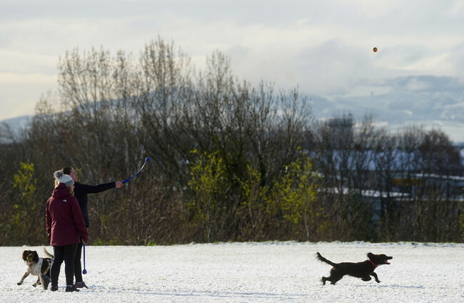
A STATUS YELLOW warning for snow and ice remains in place until midday for Ulster, Connacht, and north Leinster.
Cavan, Donegal, Longford, Louth, Meath, Monaghan, Offaly, Westmeath, and all of Connacht fall under the snow and ice alert until 12pm today.
Met Éireann advises that wintry showers overnight in these areas could lead to icy conditions this morning, with potential for hazardous road conditions and slippery paths.
A similar alert is in place in Northern Ireland until 11am.
Any remaining wintry showers this morning will revert back to rain in the early afternoon and there is the chance of isolated thunderstorms also.
The last of the showers will clear later in the afternoon, with highest daytime temperatures of 5 to 9 degrees.
But frost and ice will set in quickly overnight under clear skies, with lowest temperatures of -3 to +1 degrees.
🍀Weather for the week ahead🍀
— Met Éireann (@MetEireann) March 13, 2023
An unsettled week ahead with rain or showers on most days.🌧️🌦️
Cold on Tuesday🥶, milder for the rest of the week🌡️📈
Friday (St. Patrick's Day🍀): Current indications suggest it will be a showery day 🌦️ pic.twitter.com/VHwPcc6WjH
It’ll be dry at first tomorrow morning across the midlands, but outbreaks of rain elsewhere will soon become widespread ad heaviest in Munster and Connacht, with the possibility of spot flooding.
Some sleet and snow is possible for a time across the northern half of the country and while daytime temperatures will be 2 to 5 degrees in the north, temperatures will range from 7 to 11 degrees further south.
More rain is due Wednesday night, leading to spot flooding with mild overnight lows of 7 to 11 degrees.
Thursday will see sunny spells and showers, though some of these will be heavy and prolonged, with temperatures getting up to around 12 to 16 degrees, with more scattered outbreaks of rain forecast overnight.
It’s a very similar outlook for St Patrick’s Day on Friday, with a mix of sunny spells and showers, some of which will be heavy and prolonged, with daytime temperatures again reaching 12 to 16 degrees.
A mix of clear spells and slow moving showers overnight on Friday, with some mist and fog locally and lowest temperatures of 6 to 9 degrees.
Temperatures will drop once more over the weekend though, with colder nights leading to some frost and possibly ice, while there will be a mix of clear spells and showers during the day.

To embed this post, copy the code below on your site


have your say