Sign in. It’s quick, free and it’s up to you.
An account is an optional way to support the work we do. Find out more.
Sign in. It’s quick, free and it’s up to you.
An account is an optional way to support the work we do. Find out more.
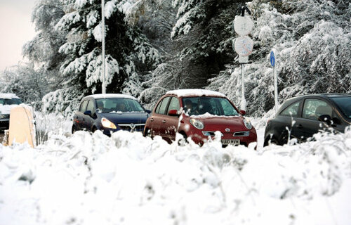
STOCK UP ON those carbon-taxed fuels before the weekend – snow, severe frosts, sub-zero temperatures and showers of icy-cold rain, hail and sleet are being forecast by Met Eireann.
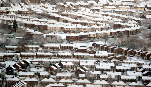
The five-day forecast from the national metereological centre shows temperatures dropping to zero across most of the country by 6am tomorrow morning. By the same time on Saturday morning, some central inland areas could be hit by temperatures of up to -6 degrees Celsius and the rest of the country nudging subzero. On Sunday, their forecast map has a few patches veering below -6 again, but Monday is when they foresee the worst of the cold snap plunging the centre of the country into freezing conditions.
The good news is that Met Eireann says that most of the country will be dry and sunny tomorrow, with the exception of wintry showers in northern and western counties and some snow on high ground.
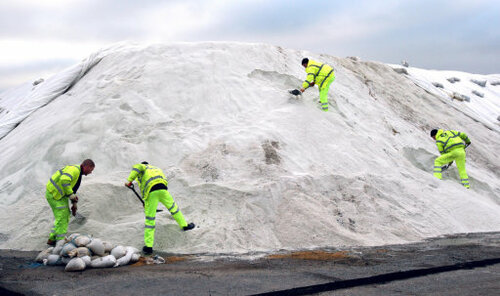
The outlook, however, is less clement. They warn of “widespread frost setting in and some icy patches on the roads” from Friday night. They say there will also be the risk of sleet and snow falls inland and that the nights will be “bitterly cold”.
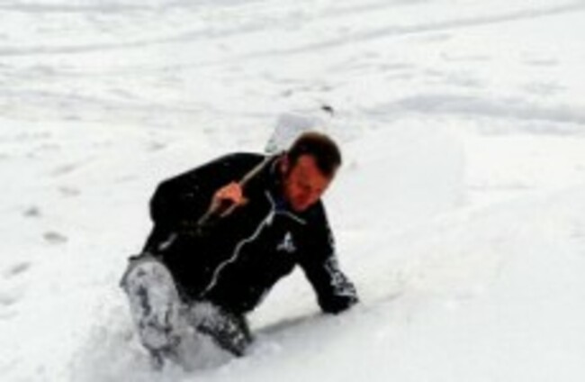
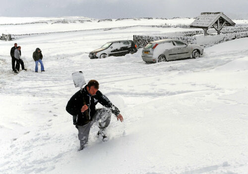
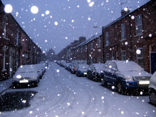
It could be worse – many schools were closed and traffic was disrupted in Scotland and northern England because of a severe cold snap and snow there. The Guardian is reporting that forecasters are also concerned that the snap will last “almost all the way through to Christmas Day”.
This is the view from there:

To embed this post, copy the code below on your site


have your say