Sign in. It’s quick, free and it’s up to you.
An account is an optional way to support the work we do. Find out more.
Sign in. It’s quick, free and it’s up to you.
An account is an optional way to support the work we do. Find out more.
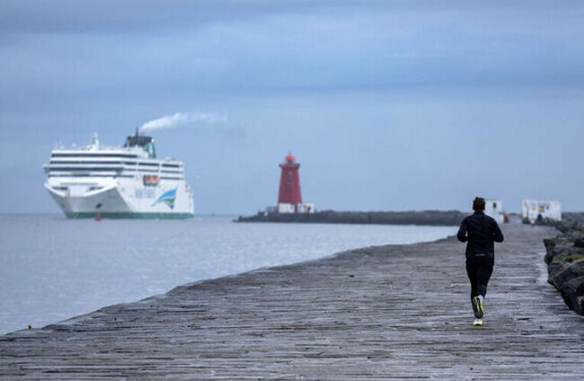
THE WEEKEND IS set to be very cold with widespread frost and ice, followed by less cold temperatures and more rain from Saturday night onwards into next week.
(Presumably we will one day have nice weather again, but it’s not currently forecast.)
There is a small sliver of good news in the latest Met Éireann forecast: though Saturday will be “very cold”, we are also forecasted “widespread sunshine” and a dry start.
So, here’s what is forecast day by day:
Today is cloudy with outbreaks of the worst kind of rain, drizzle. There will be heavy showers in some parts too, and temperatures of 6 to 11 degrees which will drop to as low as 2 degrees tonight.
Heavy showers are expected this evening too.
Tomorrow will be wet, with outbreaks of rain mostly across the northern half of the country. There could be a chance of heavy rainfalls with some spot flooding.
It’s to get colder on Friday with ice and frost in parts, but dry overall with some sunshine.
Highest temperatures will be between 3 and 6 degrees, with lows at night of -4 to -1 degrees. Expect it to be very cold, frosty, and icy.
Saturday will be much the same, with some sunshine, and more frost and ice. There could even be some “wintry falls”.
On Saturday night it is to become wet and windy, and that weather will continue into Sunday, with temperatures coming back up to highs between 9 and 11 degrees in the daytime.
So far all we know about next week is that it will be “unsettled” with “an Atlantic regime dominating”, we’ll keep you posted!
To embed this post, copy the code below on your site















have your say